

ShelS Company performs the development, maintenance and sale of software products to perform geodetic, engineering, cadastre, cartography and assessment work.
GIS 6 is a software for performing geodesic, cartographic, cadastral and mapping works.
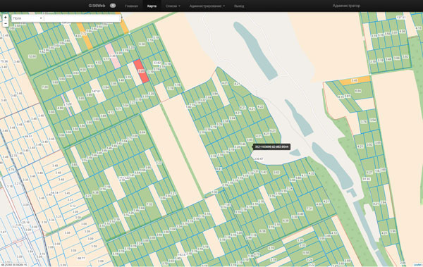
It allows you to perform complex tasks associated with the management of the land bank, leases, crop rotation.
The software for design, vectorization and modification maps. It allows to display, create and modify shape files.
Cartographic server for the inner layers of GIS 6 program and the outer layers, supported by the program MapDraw 2.
Prepare invoices, contracts and acts to perform cadastre works, payment orders, invoices and tax calculation module estimates.
The program for calculating estimates for the implementation of land cadastral and engineering survey work.
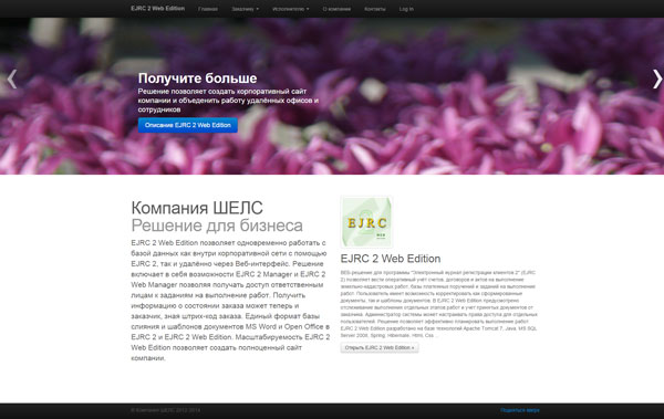
Shells Company developed a series of web-based solutions, allows you to integrate corporate offices and create online resources.
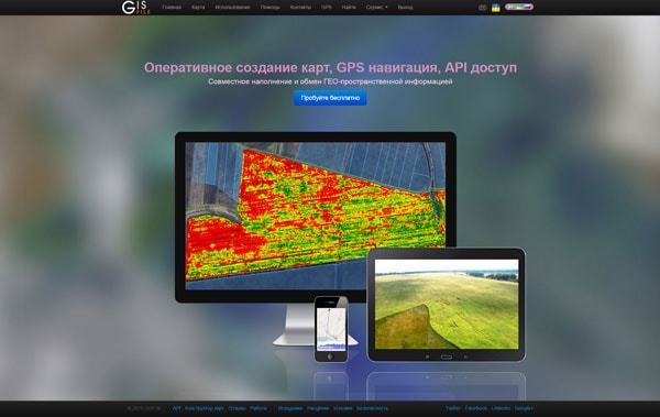
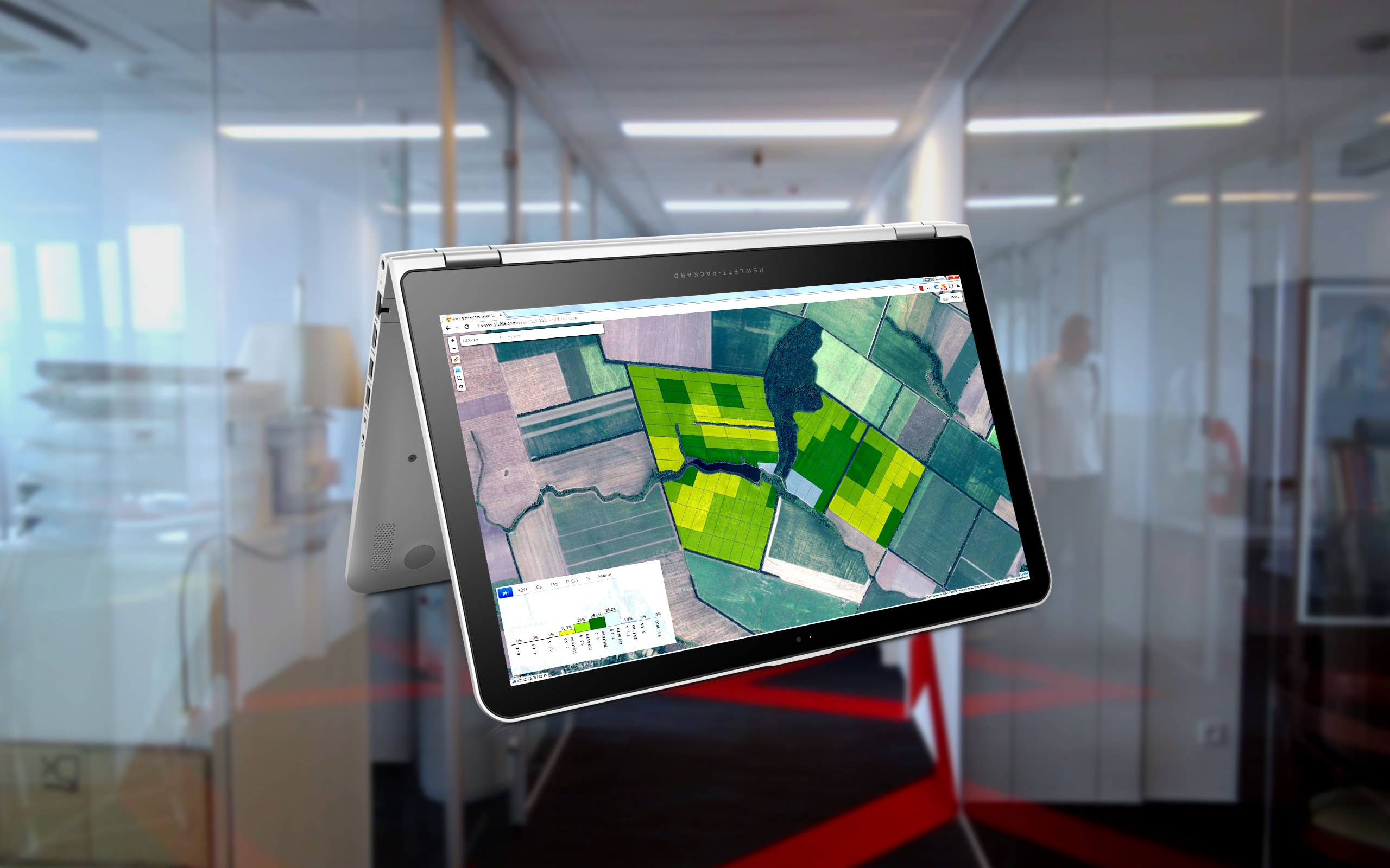
Mapping service that provides the ability to quickly create maps, jointly edit and share layers with other users of cards.
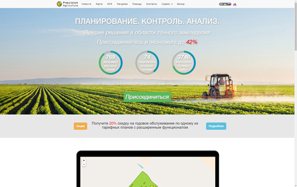
PreAgri - is an online service for collecting and analyzing spatial data of the agricultural enterprises.
It allows you to simultaneously work with the database inside the corporate network with the help of GIS 6, or remotely via a web interface.
It allows you to simultaneously work with the database inside the corporate network with the help of GIS 6, or remotely via a web interface.
Operational accounting, contracts and acts to perform cadastre works, base of payment orders and tasks to perform activities.
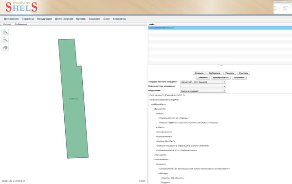
We propose to use online services to display, edit and convert coordinate text files Txt, Pts and exchange files Xml and In4.