

ShelS Company offers services for the development of geo-information web portals, cartographic software for desktop, web and mobile applications.
Geodetic information system with advanced features specifically for agricultural enterprises.
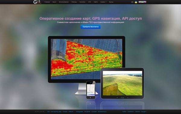
Mapping service that provides the ability to quickly create maps, jointly edit and share layers with other users of cards.
It allows you to simultaneously work with the database inside the corporate network with the help of GIS 6, or remotely via a web interface.
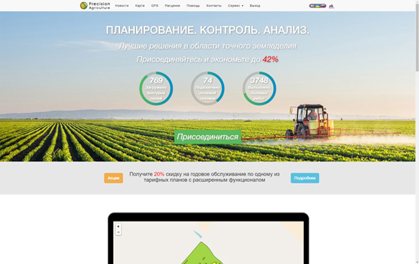
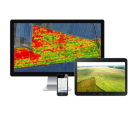
PreAgri - is an online service for collecting and analyzing spatial data of the agricultural enterprises.
ShelS сompany It offers services for the development of interactive maps and connection to your site or application. By placing the card on your site you will be able to designate offices, real estate, land routes, define the territory and attach tags (title, description, comments, pictures or videos).
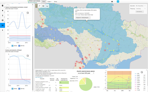
The public Web site for monitoring the state of water and air quality with analytical tools for compare the indicators of quality, cost and finance.
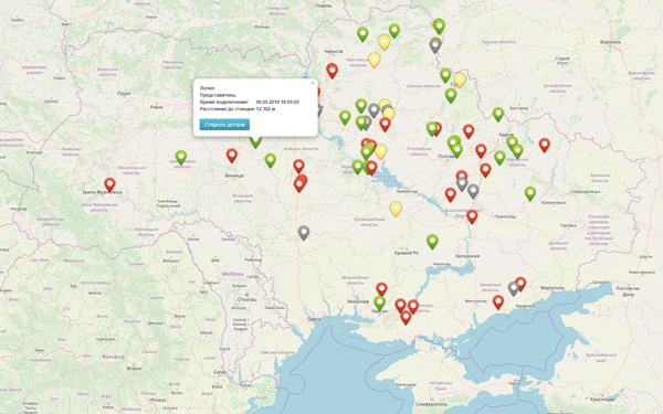
The REST API to monitor technique with RTK-signal and to get the routes of movement was developed.
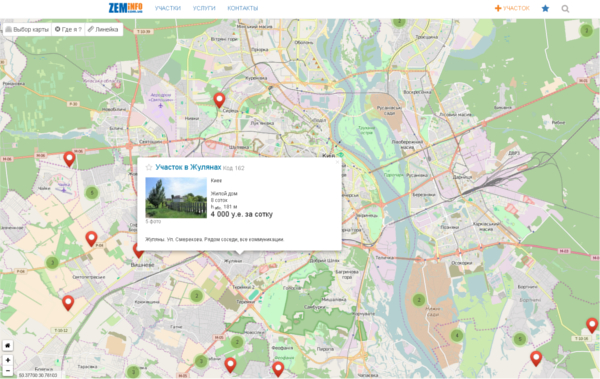
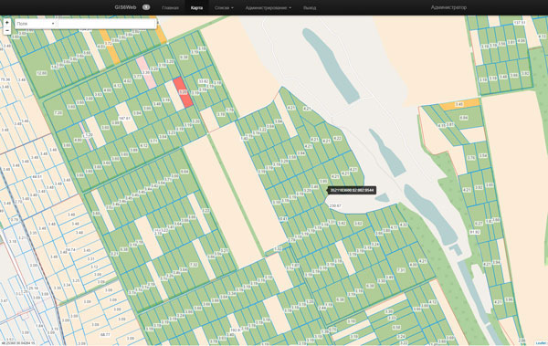
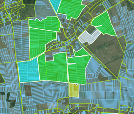
Developed an interactive map to display the location of the land, and their detailed description of the purpose of sale.
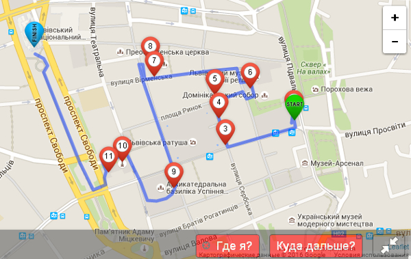
Maps of tourist routes to organize tours around Lviv in the form of quests. The map shows routes, interesting places, riddles and tasks for the tourist.
Interactive cards provide unlimited possibilities for displaying the spatial information and its instant editing and analysis. The use of cards in their projects has the following advantages:
full support for technology modern browsers and operating systems
the ability to integrate in any website or application
an external database objects
configuration tools for working with a map for users
use raster and vector graphics
high speed spatial data
ShelS Company offers services for the collection, processing, analysis of geospatial information and its storage and visualization of geo-information portal on the company.
We offer services for vectorization and updating maps for different purposes and information content.
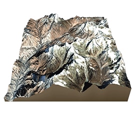
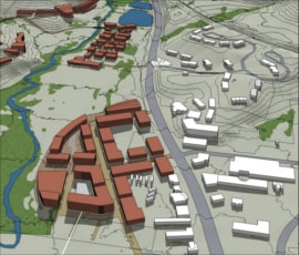
We offer a 3D terrain modeling for the study and analysis of its features.
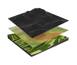
We offer high-quality image processing, namely the geometric binding, color gamma correction, construction of orthophotos, digital terrain model creation.
Storage cartographic information, with instant access and visualization anywhere, anytime, on geoinformation portal - GisFile.com.
Result unmanned aerial is a photo and video materials that can be used for the construction of orthophotos. Obtained by using aerial photography materials at times more precisely than with the satellite imagery, and most importantly - are immediately available for processing and analysis. Shells Company together with its partners offers services of shooting and processing of spatial data:
build high quality orthophotos
build 3D models of terrain and objects
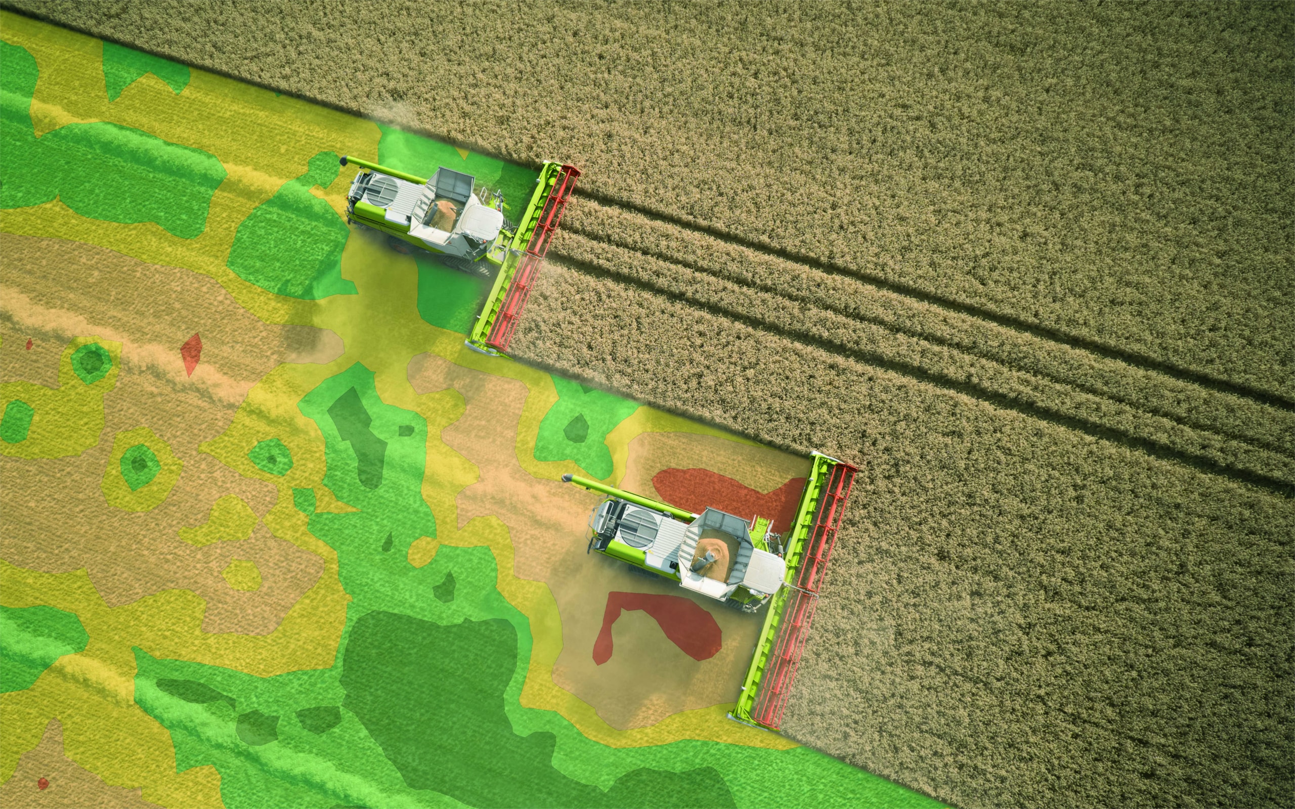
terrain analysis on various parameters (relief, salt, vegetation index, etc.)
aerial photo and video materials with reference to the GPS coordinates
synchronize and display video and GPS tracks
ShelS Company offers services for the implementation of precision farming systems as the software and the hardware.
We offer services for measurement of land to simplify inventory and cadastral registration procedure.
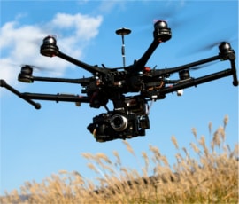
We offer aerial photography of fields using drones to monitor the quality of tillage, sowing and plant biological indicators.
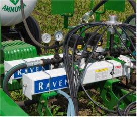
We offer complete automation systems of agricultural equipment manufacturing company Raven (USA).
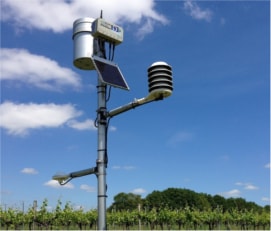
Using meteorological stations enables the efficient use of fertilizers, pesticides, water and energy.
PreAgri.com - online service for processing and analysis of spatial data for farms.
Import photographs with drones and satellites
import data from field equipment
planning and productivity analysis
visualization agrochemical survey samples
GPS navigation with synchronized video display